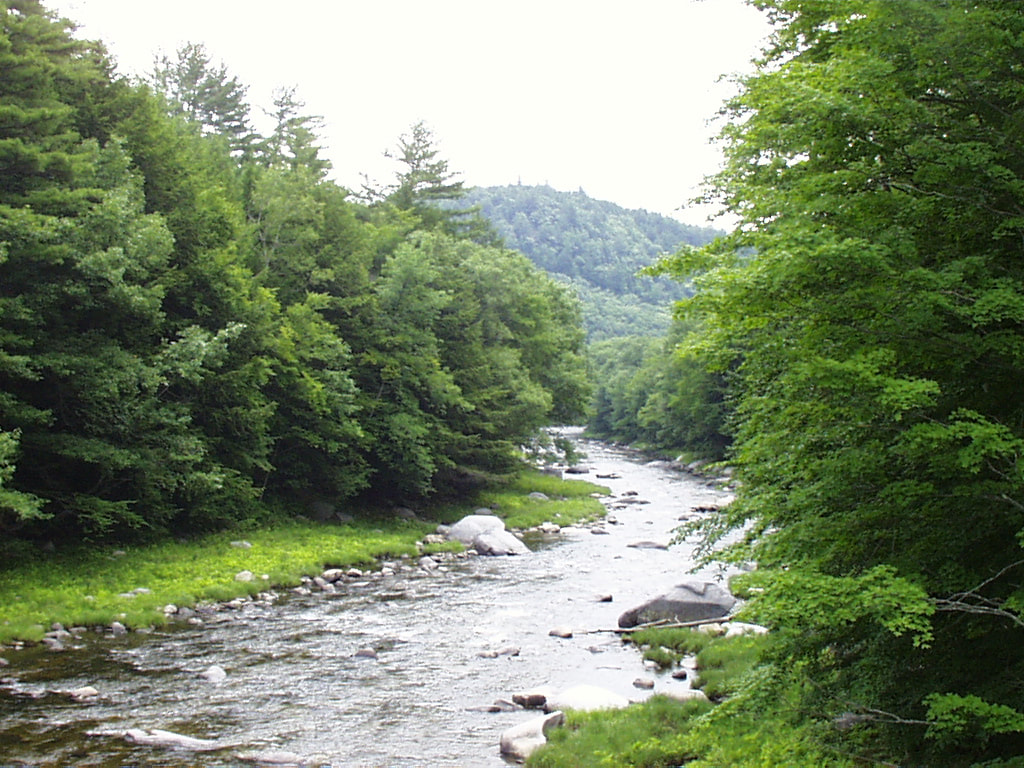
Water Resource Planning
River Corridor Planning
|

|
Black River Corridor PlanCompiled in 2011 by MARC. This plan brings together technical data on the condition of the Black River and its tributaries with local land use planning and regulations, focusing primarily on hazard mitigation and improving water quality.
Black River Phase 1 and 2 Stream Geomorphic AssessmentsPrepared for MARC between 2007 and 2010. In 2007, a Phase 1 Stream Geomorphic Assessment (“SGA”) was carried out accordance with Vermont’s Agency of Natural Resources protocols. The report divided the Black River and its tributaries into numbered reaches (sections of river). The Phase 1 report prioritized stream sections to be evaluated in the Phase 2 SGA which was completed in 2009. An addendum was added in 2010 for the Patch and Buffalo Brooks which feed into the Ludlow Lakes.
Hubbard Brook Phase 1 Stream Geomorphic Assessment
Hubbard Brook Phase 1 Stream Geomorphic Assessment Prepared for MARC in 2008 by Fitzgerald Environmental Associates.
Mill Brook Phase II Stream Geomorphic Assessment
The Mill Brook runs from its headwaters in Reading through West Windsor and Windsor to the Connecticut River. The Corridor Plan is the result of Phase I and Phase II Stream Geomorphic Assessments conducted during 2013 and 2014 which examined individual reaches of the Mill Brook for flood vulnerabilities and physical and biological conditions. The 2015 report contains detailed information on the health of the Mill Brook and opportunities to promote flood resiliency within the watershed.
Springfield Reservoir Engineering Evaluation
For more information, please contact Chris Yurek.
Black River Phase 1 and 2 Stream Geomorphic AssessmentsPrepared for MARC between 2007 and 2010. In 2007, a Phase 1 Stream Geomorphic Assessment (“SGA”) was carried out accordance with Vermont’s Agency of Natural Resources protocols. The report divided the Black River and its tributaries into numbered reaches (sections of river). The Phase 1 report prioritized stream sections to be evaluated in the Phase 2 SGA which was completed in 2009. An addendum was added in 2010 for the Patch and Buffalo Brooks which feed into the Ludlow Lakes.
Hubbard Brook Phase 1 Stream Geomorphic Assessment
Hubbard Brook Phase 1 Stream Geomorphic Assessment Prepared for MARC in 2008 by Fitzgerald Environmental Associates.
Mill Brook Phase II Stream Geomorphic Assessment
The Mill Brook runs from its headwaters in Reading through West Windsor and Windsor to the Connecticut River. The Corridor Plan is the result of Phase I and Phase II Stream Geomorphic Assessments conducted during 2013 and 2014 which examined individual reaches of the Mill Brook for flood vulnerabilities and physical and biological conditions. The 2015 report contains detailed information on the health of the Mill Brook and opportunities to promote flood resiliency within the watershed.
- Final Plan
- Appendix A – Phase 1 Reach Reports
- Appendix B – Phase 2 Stream Geomorphic Assessment Data
- Appendix C – Reach Habitat Data Summary Sheets
- Appendix D- Reach Stressor and Project Identification Maps
- Appendix E – Phase 2 Data QA/QC Summary
Springfield Reservoir Engineering Evaluation
- Springfield Reservoir Engineering Evaluation - Prepared in 2012 by DuBois & King for the Town of Springfield.
For more information, please contact Chris Yurek.
|
|
Mount Ascutney Regional Commission
PO Box 320
38 Ascutney Park Road Ascutney, VT 05030 802-674-9201 |